Assateague Island
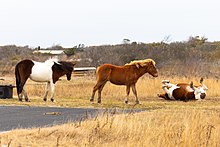
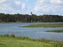
Barrier island in Maryland and Virginia, United StatesAssateague Island is a 37-mile (60 km) long barrier island located off the eastern coast of the Delmarva Peninsula facing the Atlantic Ocean. The northern two-thirds of the island are in Maryland, and the southern third is in Virginia.
Read article
Top Questions
AI generatedMore questions
Nearby Places

Chincoteague High School
Public high school in Virginia, United States

Chincoteague National Wildlife Refuge
United States National Wildlife Refuge in Virginia

Refuge Waterfowl Museum

Museum of Chincoteague Island
Assateague Channel

USS Despatch (1873)
1873–1891 American steamer ship

Captain Timothy Hill House
Historic house in Virginia, United States

Island Creamery
Maryland-based ice cream parlor chain


